Monday, April 5, 2010

The Forest Park Southeast Neighborhood

Forest Park Southeast is a south St. Louis neighborhood bound by I-64 to the north, I-44 to the south, Vandeventer to the east and Kinshighway to the west:

The 2000 census counted 3,704 residents (13% decline from 1990s count) of whom 77% were black, 18% white, 1% Asian and 1% Hisp/Latino.  1,831 housing units were counted, 77% occupied, split 34%/66% owner/renter.  The 2010 census data indicated another loss at about 21% with some significant racial shifts:  64% black, 30% white, 2% Asian and 2% Hispanic/Latino.
 From the FPSE website:
Forest Park Southeast is an up-and-coming neighborhood with a mix of single- and multi-family homes on quiet streets along with trendy restaurants and bars in the Grove district along Manchester Avenue. FPSE comprises the four distinct neighborhoods of Adams Grove, Gibson Heights, New Boyle and Ranken East.

The neighborhood is convenient to Washington University Medical Center, Barnes Jewish Hospital, St. Louis Children's Hospital, the Central West End, the Science Center and, as its name implies, Forest Park. Forest Park Southeast is located near both Interstate 64/Highway 40 and Interstate 44, with a Metrolink stop just a few blocks north of the neighborhood.
The above mention of proximity to BJC is very true, and with the upgrade of I-64, there is a nice pedestrian crossing to access BJC, the CWE and Forest Park.  FPSE is also a quick jog down Tower Grove Avenue to the Missouri Botanical Gardens.
It's also good to see I'm not alone in calling this an "up and coming" neighborhood.

A little history from the FPSE website:
Before 1989, the Forest Park Southeast neighborhood had been known by various names over the years. Originally, the area was known as Rock Spring, named for the large spring that was the principal source of the Mill Creek. Rock Spring drew a large crowd from the central city and became a resort where they could get away from the urban grind. The demographics of the area changed drastically, though, with the arrival of the Pacific Railway and the influx of industry that followed (www.stlouis.missouri.org). The construction of the Missouri Pacific railroad tracks and Manchester Road to Jefferson City in the 1850s made FPSE accessible.

However, Forest Park Southeast was developed primarily at the turn of the 20th century. The neighborhood was originally marketed as the city's first "subdivision" and was popular because of its convenient proximity to downtown and industry. Much of the housing development occurred prior to 1915 with infill activity occurring throughout the succeeding decades. Commercial development occurred primarily between 1930 and 1950.
Here is a reminder from the Rock Spring moniker for the neighborhood, the shuttered Providence Educational Center nee Rock Springs School):
As you can tell from the map and the description above, the south side of FPSE is defined by the railways.  Among other operations, you'll find the City water division, Henry Plumbing (an excellent source for plumbing parts of all kinds), the Bed Guy, Luth Construction, and other various warehousing, distribution and light industry operations both operational and long since closed:
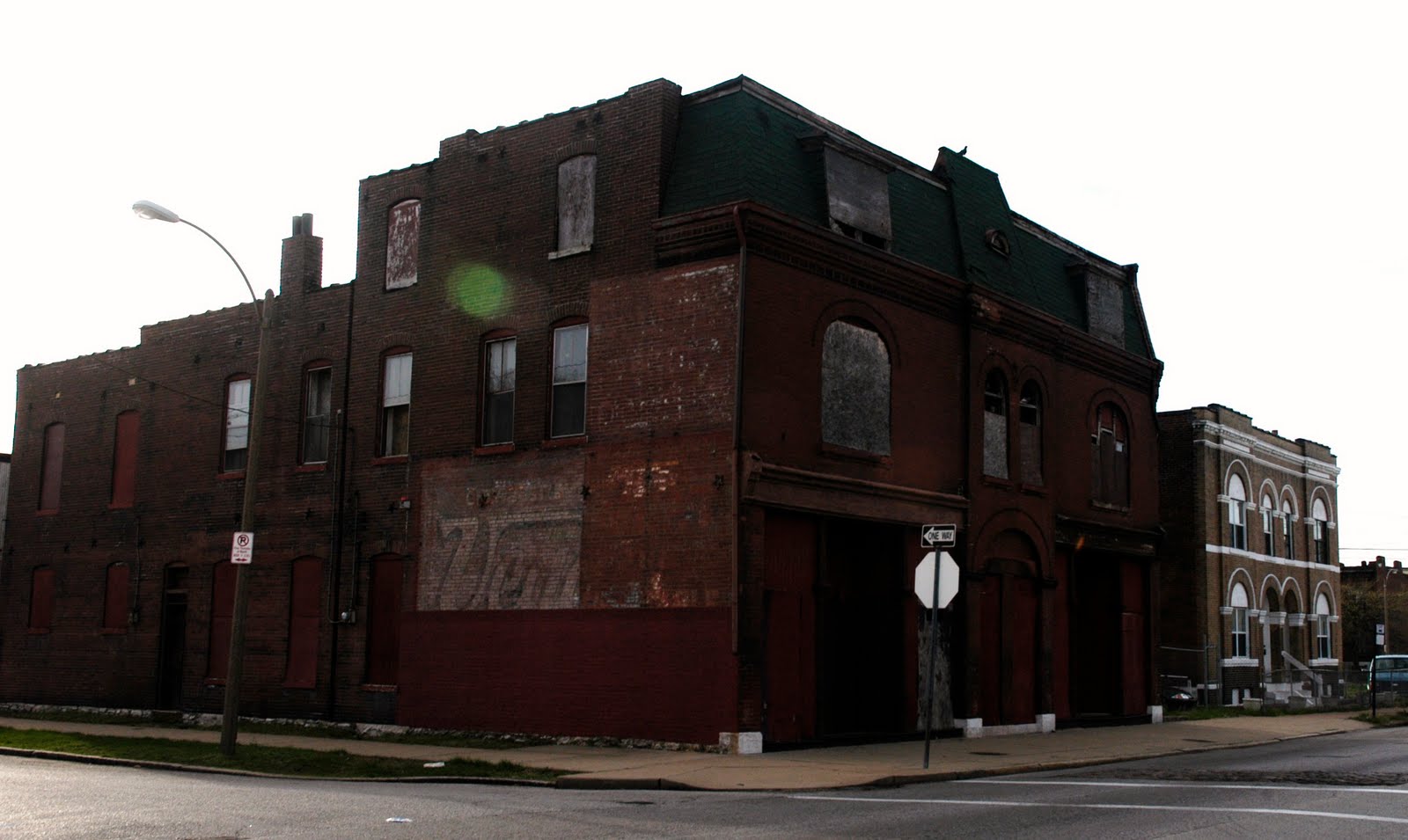
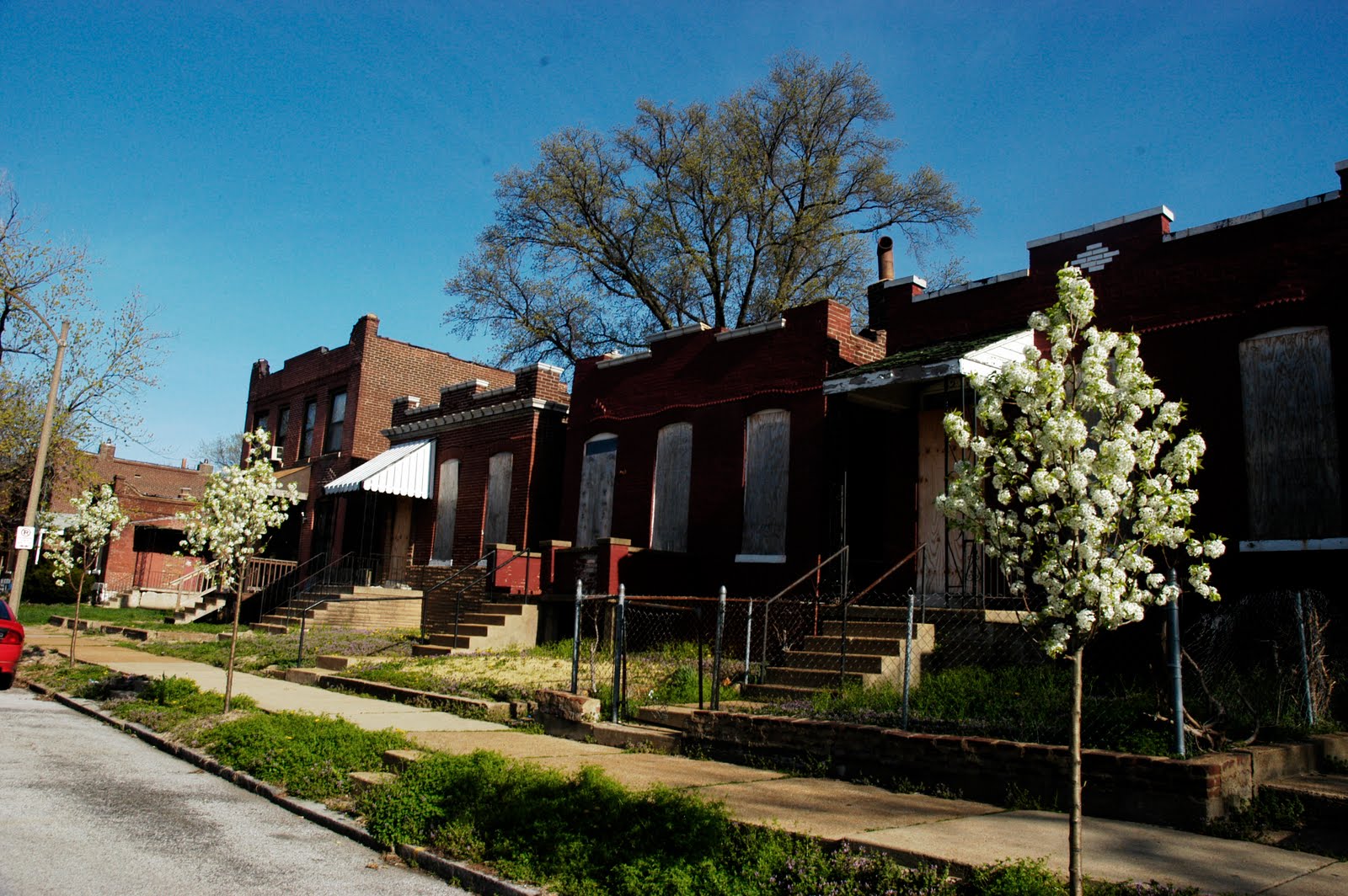
 The south side of FPSE (using Manchester as the dividing line) has a high concentration of boarded up and abandoned properties:
Notice the black spray painted symbol on this property?  They are all over the place in FPSE.  Restoration Saint Louis is a company of Amy and Amrit Gill, who were responsible for the renovation of the Moolah and Coronado in Midtown among other things.  This is probably a good sign for FPSE:
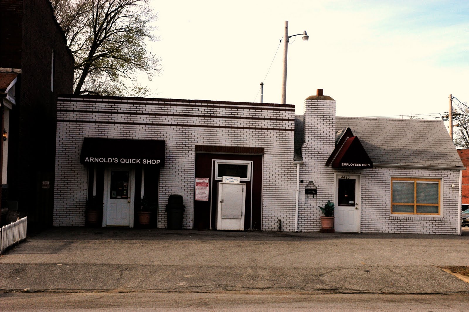
There are probably more abandoned homes and corner storefronts in FPSE than any other south side neighborhood I've visited so far:

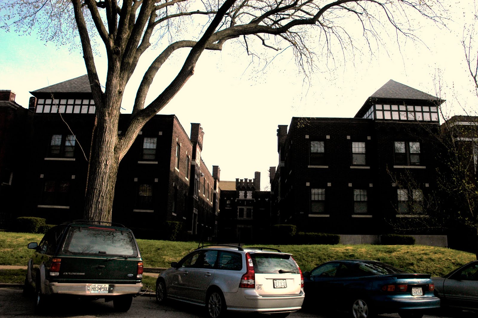
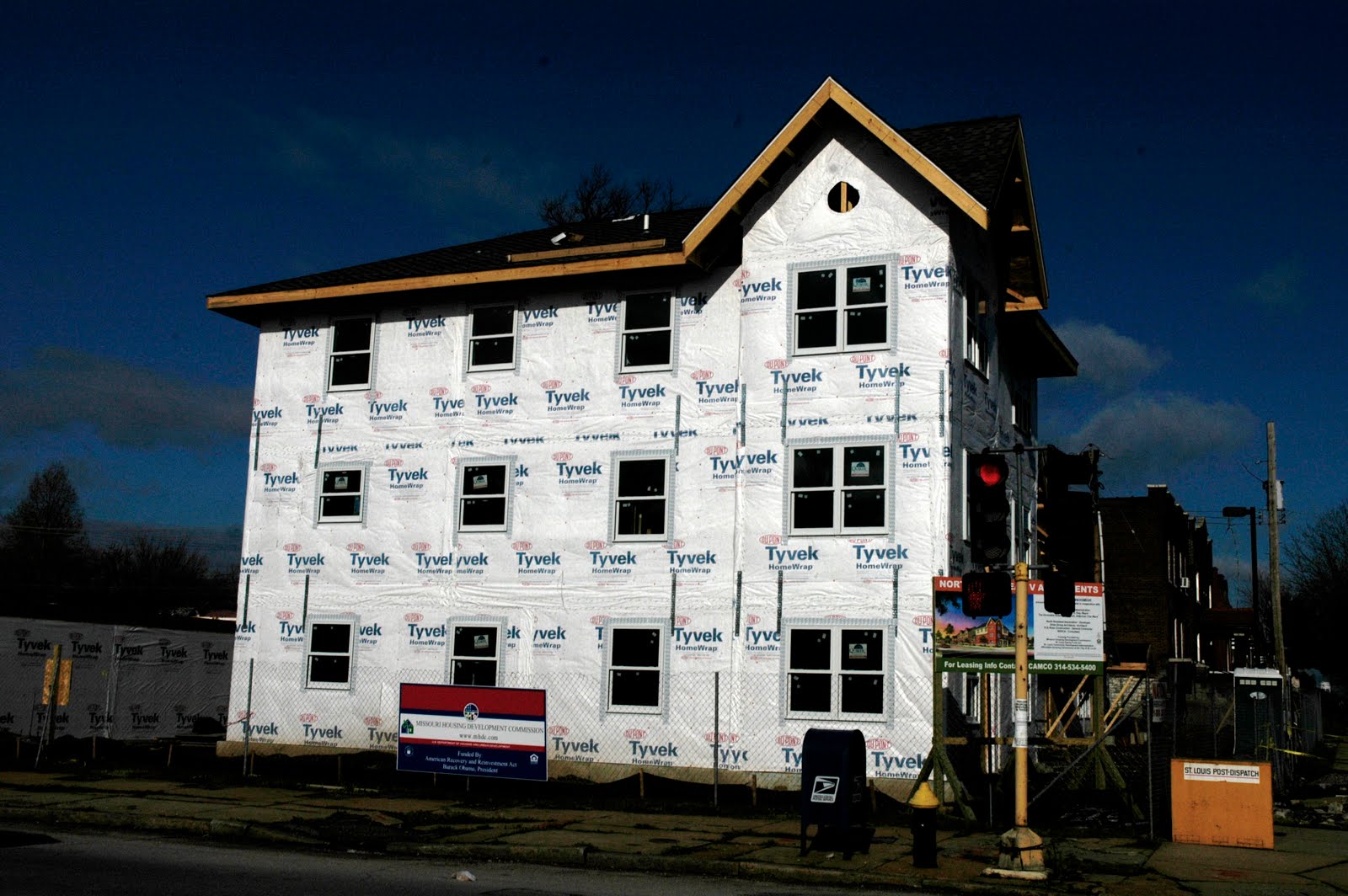
 There are examples of new construction from the 1980's through the early 21st century:
It's pretty clear that the late 20th century inhabitants of FPSE were not the best stewards of the neighborhood. However, I really think things are looking up.

Don't get me wrong, the south side of FPSE is cool, it just needs some TLC and an influx of people who want smaller shotgun homes.
The section of the neighborhood north of Manchester has seen much more investment in the last 10-15 years.  There is major potential here, especially with all the corner commercial opportunities:
^ An attractive cafe with sidewalk seating.
 ^ This is one of my favorites.  Check out the windmill above the 2nd floor window.
 ^ And this is right next door to the cool red building.  The sign reads:  "Center for Survivors of Torture and War Trauma"
^One rehabbed, one to go.
Many of the streets are closed off with bollards and cul de sac'ed.  I still don't get why this is necessary.
And if those photos don't convince you that FPSE is a great up and coming neighborhood, the recently proposed Chouteau Park space near the former natural gas towers has a huge potential to draw people to FPSE, and it will be visible from I-64 and the Tower Grove Ave. exit:
Adams Elementary is on Tower Grove Avenue and has a modern upgrade to match the original structure built in 1899.


Directly adjacent to the school is another Cardinals Care baseball field, this one dedicated to former center fielder Jim Edmonds:


According to this source:  
Edmonds donated $1 million -- $200,000 each season from 2001-05 to the team's charitable arm, Cardinals Care. Cardinals Care unveiled Jim Edmonds Field in June 2001 in Forest Park Southeast.
Don't like the public schools?  How about a French and Spanish language immersion charter school?  The first of it's kind in the area can be found at  4011 Papin Street:
Some nice old churches dot the neighborhood:
But the real claim to fame for FPSE is its mainstreet commercial district, Manchester with several businesses services, night clubs and restaurants deemed the Grove.  When I first moved to STL in 1994, This stretch of Manchester between Kingshighway and Vandeventer was pretty desolate; it's amazing how much progress has been made in the last 10 years:

 
^ This storefront is sweet.


^I like the senior assisted living buildings, just not the empty corner at Manchester and Kingshighway. 
 
There are many places of interest along Manchester, here are just a few:
Sweetie Pie's at the Mangrove (the place that got me addicted to sweet potato fries)
And many others
Five has since closed shop in the Grove and moved to the Hill.

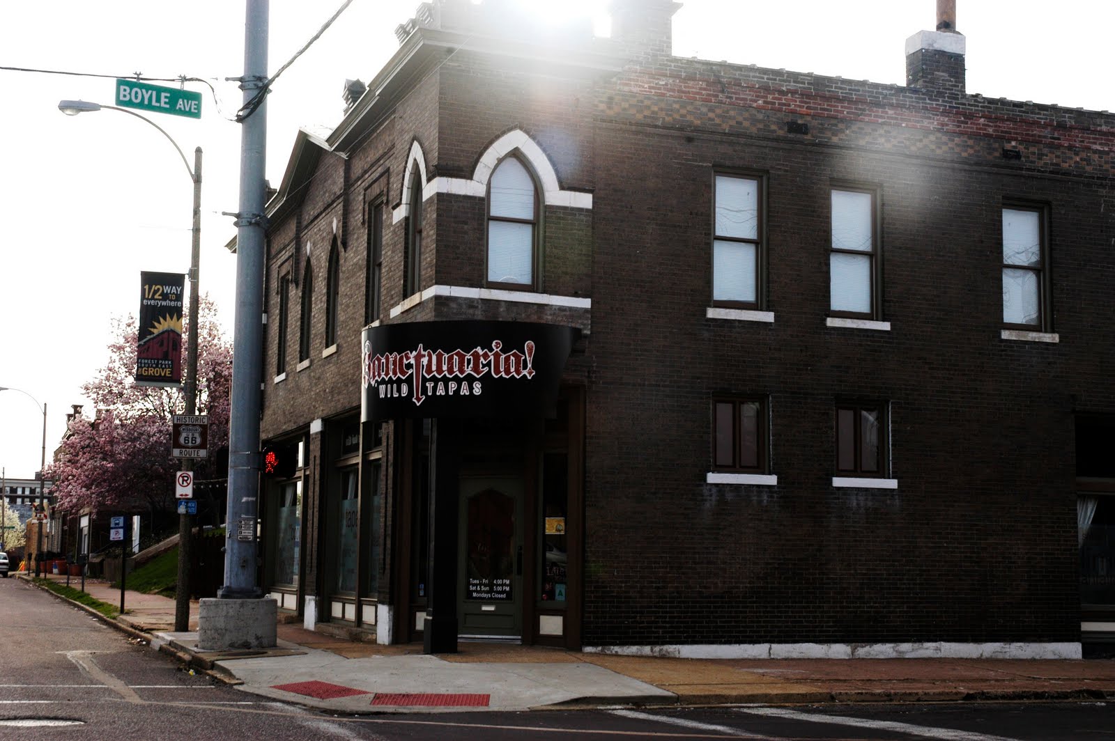
Most of the buildings along Manchester have been redone.  However there are still a handful that await their turn:


Some sights along Vandeventer:
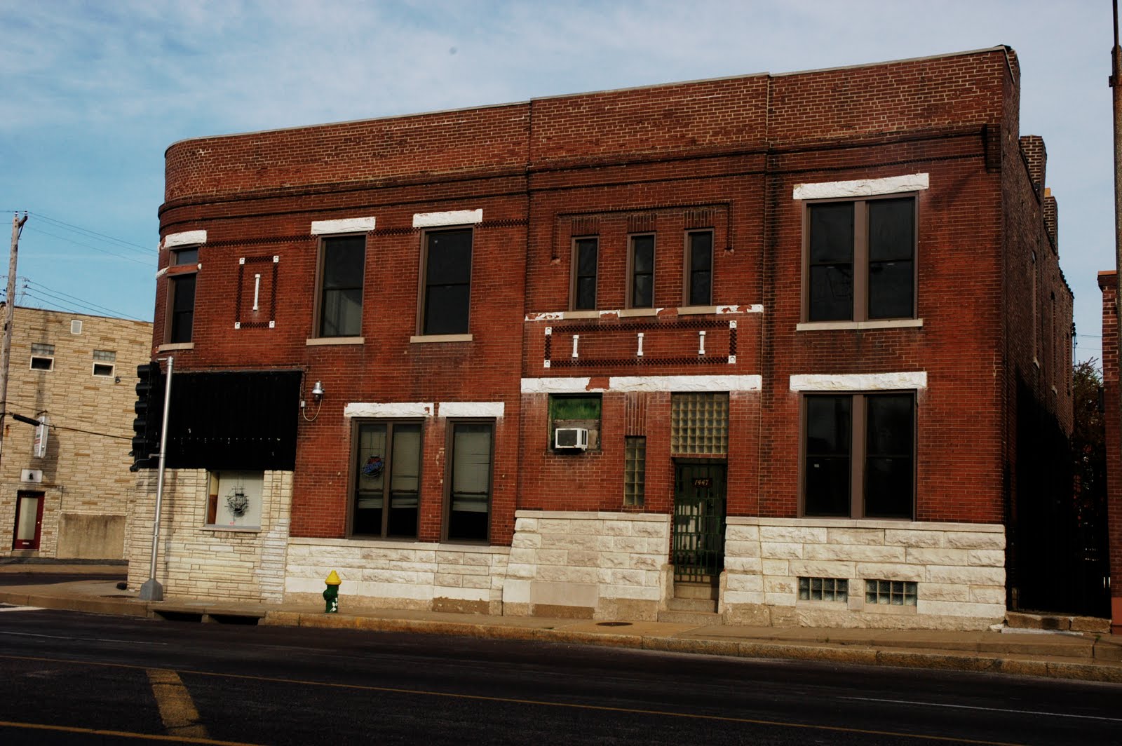
The former Billy Goat Tavern
^This stretch of store front is attractive, can't understand why things haven't taken off here.

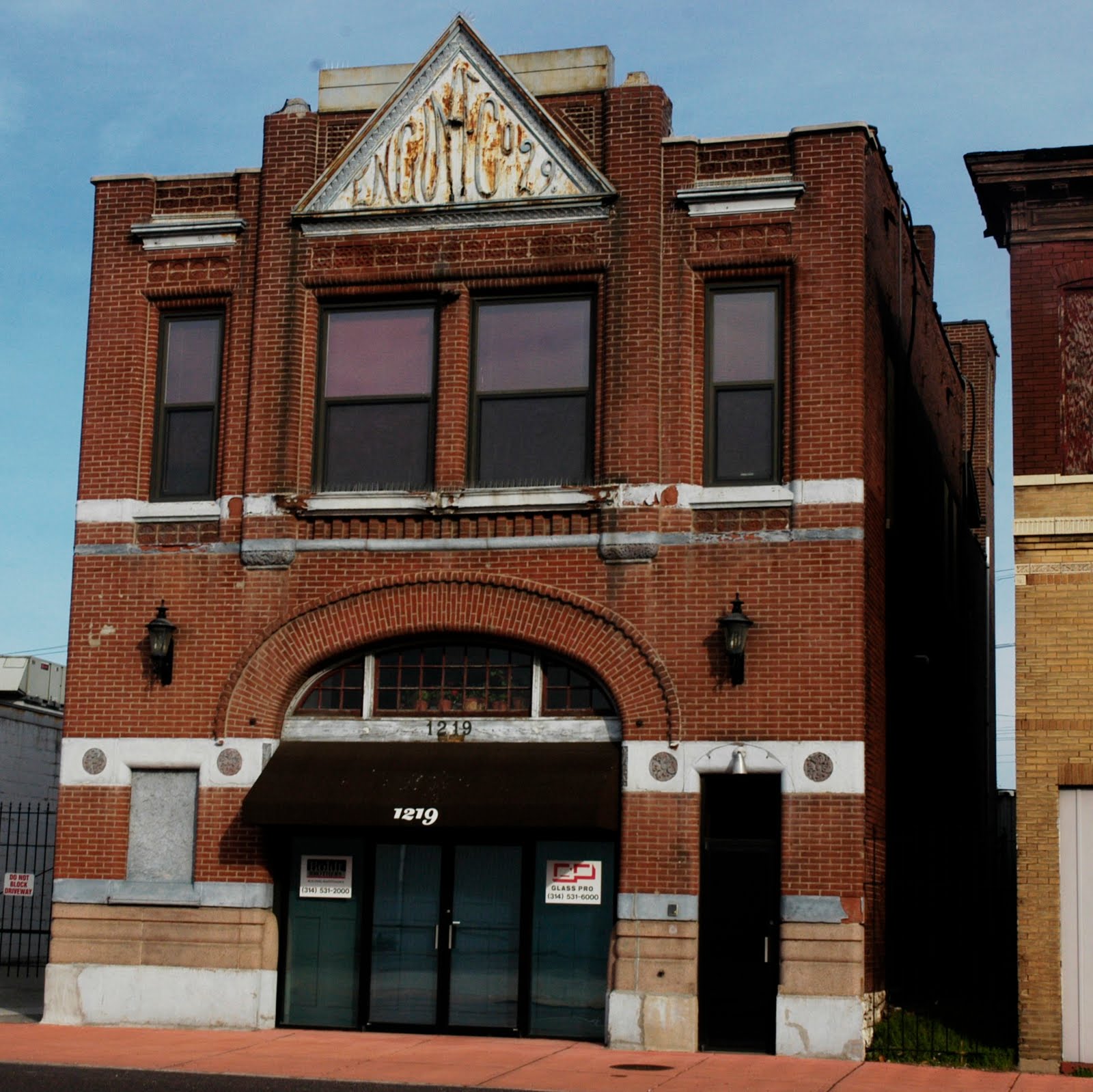
A former fire station is available for sale/lease:

I really like the Chouteau building, too bad it's fallen victim to some urban poaching:


The Thomas Coffee headquarters on Boyle is an impressive employer, who seems committed to the city.  They've been roasting coffee under this roof since 1905.


Thomas isn't the only coffee roaster in FPSE:


FPSE has seen an amazing amount of investment over that last 10 or so years.  I think the positivity will continue both north and south of Manchester to make FPSE yet another great south side neighborhood that will draw all kinds of people to live, work and play.

Cheers to Forest Park Southeast!

Saturday, April 3, 2010

The Penrose Neighborhood

Penrose is a north St. Louis neighborhood bound by I-70 and West Florissant to the north, Natural Bridge to the south, Kingshighway to the west and Newstead and Pope to the east:
The 2000 census data counted 7,435 residents (down 13% from 1990's count) of whom 98% were black. This neighborhood has been all black since 1970.  There were 3,565 housing units counted, 85% occupied (61%/39% owner/renter split).  That's a high occupancy rate, so I'm hopeful that this will be another well cared for St. Louis neighborhood.

From the Penrose website:
"Colorful streetside banners greet motorists driving down Kingshighway near Natural Bridge Avenue. "The Neighborhood of Choice," their bright letters proclaim, giving notice of Penrose, an African-American residential community of neat brick homes and can-do spirit. It is a place where "choice" is more than a catchword.  The neighborhood is a diverse community with a good balance of homeowners, renters, and businesses. The architecture of the area is reflective of the rich architectural heritage found in St. Louis. Many active neighborhood organizations are involved in improving the neighborhood and building a strong community."
I like this statement as well:
 Penrose's strength today lies in the dedication of its residents, many of whom have lived in the neighborhood for 30 years or more. Through "choice," they have refined their community, building an atmosphere of cooperation and improvement. Here, as elsewhere in St. Louis, the idea of "neighborhood" comes much from human spirit as from streets and landmarks.
Having never stepped foot in Penrose before, the back story is essential for painting the picture, so I can capture and appreciate what I see today:
Penrose's neighborhood identity was a long forming. In the early 19th century, the area was characterized more by land speculations than by actual settlement. It took it's name from Clement B. Penrose, whom Thomas Jefferson appointed land commissioner in 1805. Penrose lived on a nearby estate and was of the region's prime land investors. Another early land owner was statesman Henry Clay, a shaper of the Missouri Compromise.

Penrose did not take on take on the contours of a community until the late 1880's, when farmers and dairymen, most of German heritage, moved their families into the area. By 1900, the community, though still rural, was sufficiently settled to boast two German churched, St. Engelbert Catholic Church and Salem German Evangelical Church.

With the 1920's commercial development and transit lines raised land values around the northern edges of St. Louis. Most of Penrose's subdivisions date from that era, when single family brick homes sprang up along Euclid, Shreve and Lee avenues. Although some of these subdivisions were the work of outside investors, others were developed by long time residents, a prime example being the area around Steinlage Drive, a street named for a local German family in the dairy business.

The early 1960s were years of transition for Penrose. As older residents moved out, African-American families moved in. The well-constructed houses were ideal for moderate-size families offering many their first opportunity for home ownership. Middle- and upper-income African-Americans, including teachers, nurses and city and government employees, made Penrose their new home. A significant number came from home. A significant number came the Ville, located to the southeast and long the city's premier African-American neighborhood.

As Penrose's African-American population increased from 33 percent in 1960 to 95 percent in 1970, African-American institutions helped solidify the neighborhood. St. Peter's A.M.E. Church relocated to the corner of Shreve and Margaretta in 1962. In 1974, the Julia Davis Branch Library, its name honoring the noted St.Louis educator, opened on Natural Bridge.ator, opened on Natural Bridge Avenue.

Soon residents began to organize, showing their commitment to community improvement. One of their first tasks was to define exactly where Penrose began and ended. Choice, not history, became the factor of deciding neighborhood boundaries - Kingshighway on the west, Natural Bridge on the south, Newstead on the east and Interstate 70 on the north.
What an excellent summary.  Not sure I understand the "by choice" theme, but maybe someone can explain it to me.  I asked the alderman if he knows, I'll update if I hear back.  And the banners that were mentioned on the website were nowhere to be found today. 

Anyhow, this neighborhood came on my radar for "up and coming" neighborhoods through a St. Louis Magazine mention in their April, 2010 "Where to live.." story.  Here's a quote from the story on p. 76 of the magazine: 
Penrose is about to become one of the easiest neighborhoods to rahab in.  "My first piece of legislation when I became alderman was to make the 21st Ward a Preservation Review District," says Alderman Antonio French, founder of PubDef.org.

The Landmarks Association of St. Louis recently surveyed the Penrose and O'Fallon neighborhoods to make them eligible for historic tax credits.  The next step will be a partnership between the O'Fallon and Penrose neighborhood development councils, the city's Land Re-utilization Authority, an architectural firm, and a contractor.  "We'll be going into these city-owned LRA properties, working with our architect and coming up with plans to turn them into something new, then preselling rehabs," French says.  This is the first large-scale, systematic program of its type in the city, he notes.  "I think there's two kinds of buyers for these old home, " French says.  "One is the DIY rehabbers...Then there is another kind of buyer who really wants to live in one of these beautiful old homes that have already been rehabbed.  For those folks, all they have to do is see the plans, and say, 'OK, I want that; I'll sign here.'"
The future seems bright; and by my observation, there are plenty of rehab opportunities in Penrose:

The good news is, for the most part, the LRA and abandoned homes are carefully boarded up to prevent further decline from the elements and are awaiting proper rehabs.  There are only a couple examples of burned out or falling down homes in Penrose:
The neighborhood is overall quite solid and stable, with lots of pedestrian and car traffic.  This seems like a densely populated neighborhood with a mix of classic St. Louis architectural styles:
Penrose doesn't really seem to have a centerpiece, or grand street that defines it.  Penrose park is right by the Interstate and is on the far north west outlaying corner of the neighborhood.  If anything is the centerpiece of the neighborhood it would be Mac's Meat and Produce and the other tidy retail storefronts along Shreve near I-70 in the shadow of the St. Louis Catholic Academy:
I'm a sucker for fresh produce being presented/sold on the street, and BBQ'd meats smoking at 8:30 in the morning.

Some cool old signs:
Some signs of new life along Newstead:
The North Newstead Apartments run the length of Newstead between Lee and Kossuth.

The neighborhood takes a strange suburban turn around Newstead and Taylor where there are some contemporary mistakes that don't fit within the neighborhood.  Kings Estates is a good example of what I'm trying to convey:
 Old, meet new:
There is also a suburban cul de sac at San Francisco Court that reminds me of Boulevard Heights just south of River Des Peres:
The Prince Hall Family Support Center has a large campus in Penrose:
One of my favorite parts of the neighborhood is the garden street of Steinlage Drive between Bircher and Dryden:
There are some serviceable, yet uninspiring businesses along Natural Bridge, nothing really photo worthy.  Do you really want to see pictures of Walgreens, etc?  There is a cool looking Commerce Bank on Nat. Bridge (photo was crap, couldn't post it).  There are some exceptions to the contemporary auto-centric developments along Nat. Bridge:
There are several churches and schools within  Penrose.  The Greater Progressive Baptist Church, Scullin School (self-made steel man from Ellendale?), Bunche International Studies, Ashland School:
But the exposure most St. Louisians probably have to Penrose are the familiar views of Bircher Street just south of I-70 between the Shreve and W. Florissant exits:
Due to the fact that Penrose is now eligible for tax credits, and it's a relatively stable neighborhood, I think it will look even better over the course of the next decade.