
There are several commonly held beliefs in St. Louis. One, that Dogtown is a distinct neighborhood rather than a collection of neighborhoods, Kingshighway Hills is a distinct neighborhood, separate from North Hampton (note the sign on Oleatha just west of Kingshighway)...I'm sure there are others. Many St. Louisians believe Mt. Pleasant to be part of Dutchtown. Not true.
Yet, like Dutchtown, this neighborhood has the feel of one in transition. I can't quite make out if it's one on the rise or one in the midst of a slow decline. You could call it either way. I'd like to hear from those that call Mt. Pleasant home to chime in on the current status of this fine part of the city.
Today I started out by the Mississippi River on Ohio Ave. where there is, of all things, a frat house and an Indian mound called Sugarloaf Mound within 100 yards of each other. Sugerloaf moun holds the distinction as being the last mound to survive in what is commonly referred to as the "Mound City".


Check out this little ?clubhouse?:


I-55 was as disruptive to the neighborhood as most intersatates were in St. Louis. Here are some of the newer (mid-century) homes built in the wake of the interstate contstruction:

Mt. Pleasant has a park within it's confines.
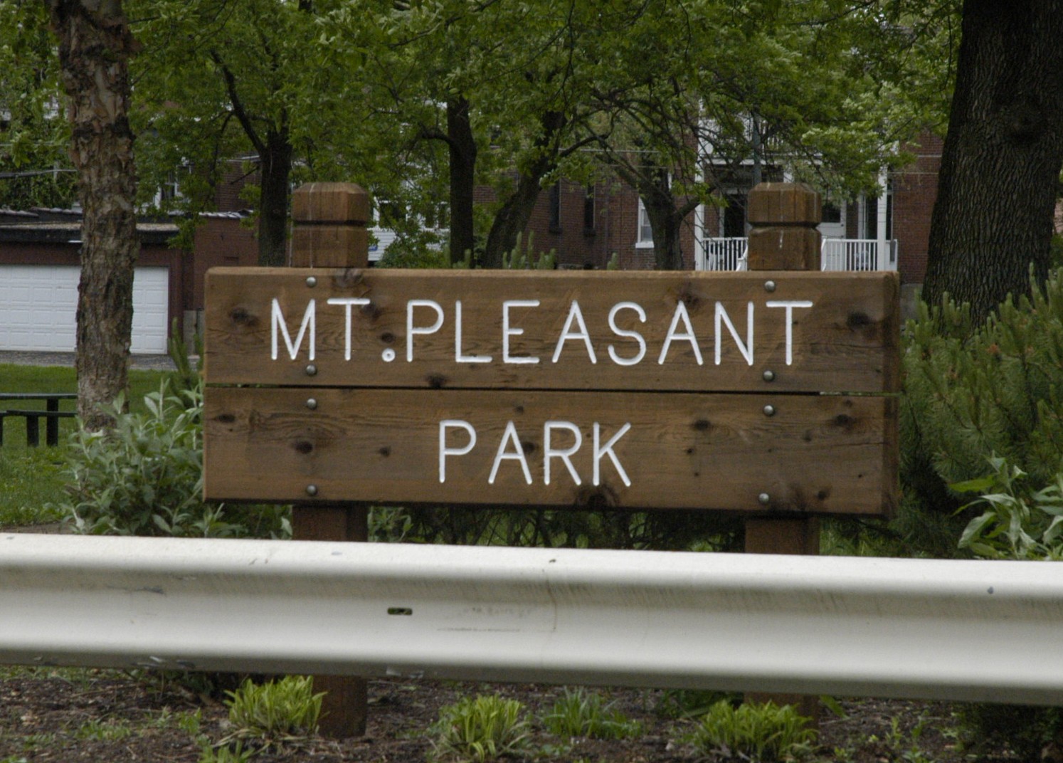
The park is nothing overly special, but it does have one of several roller hockey rinks. This one is in the best condition I've seen to date:

There are 2 commercial districts within Mt. Pleasant, the first being Virginia Avenue the second is Meremec Street.
Meremec is a cool commercial corridor with many former storefronts, mostly abandoned. The Schaeffer Hobby Store used to be here before they packed up and moved to the burbs. It was a super cool place with an old-school vibe (much like Harter's Hobby in Belleville, IL):


And then came the 70s/80s contribution to Meramec:

Meremec is far from established as a retail or commercial destination point though. Virginia is farther along, or should I say holding on, with some older businesses mixed in with some newer ones as well:


There are some other businesses, institutions and available retail propertys outside of Meramec and Virginia that can be found throughout the neighborhood:


Skip's Place Too:

Crusoe's which has the distiction of being a bar/restaurant connected to another bar:

Other churches in the neighborhood:


Remember the old Broussards Restaurant? They used to serve cajun food and had a piano player. It was a southside Twin Peaks, very David Lynch-esque.


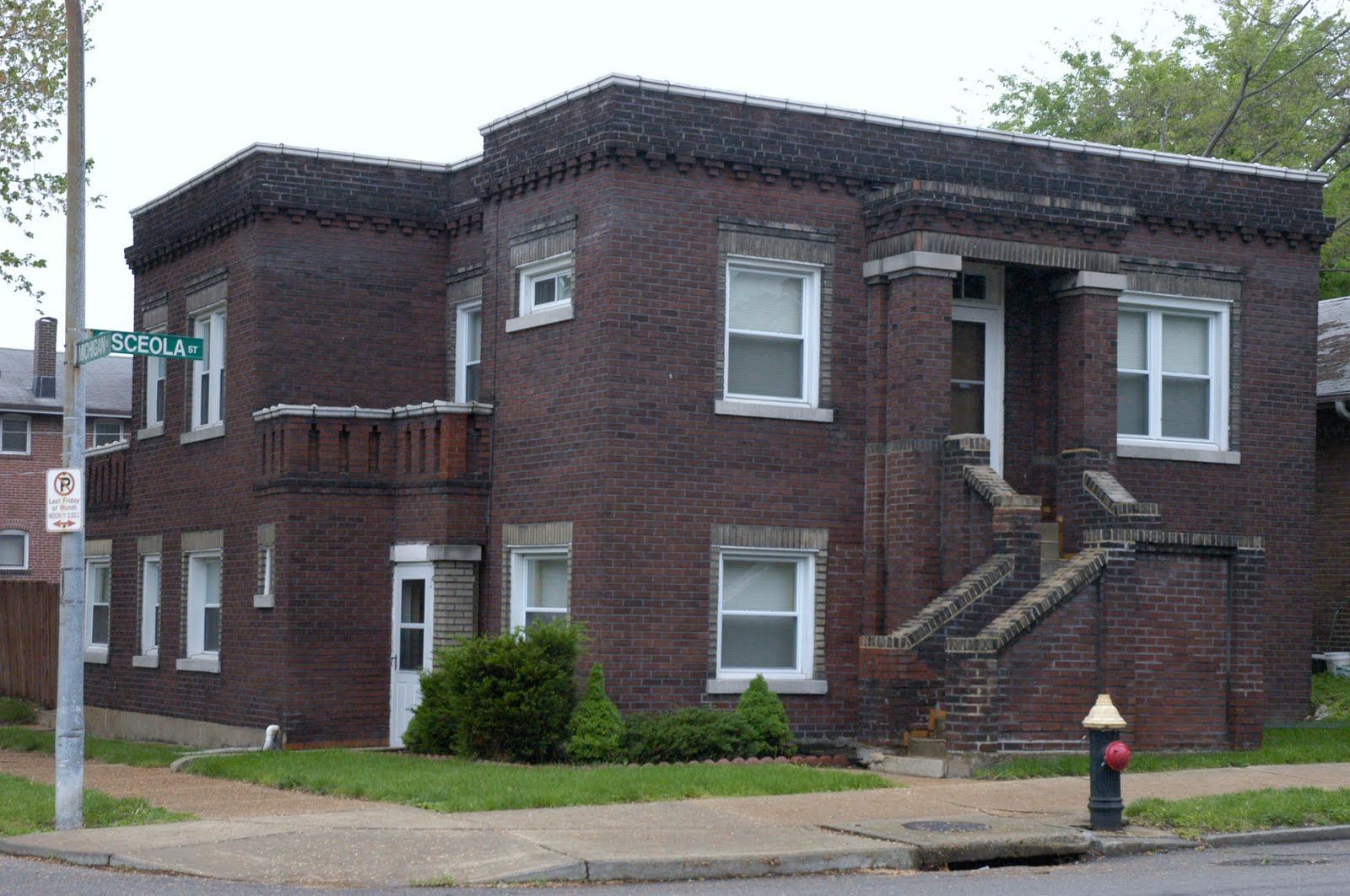
Here are some of the more unique home in Mt. Pleasant:


The Mt. Pleasant School which was converted to apartments. You have probably seen the sign right off of south bound I-55:


And here are my two favorites:


With sweeping views of the Mississippi River and a couple commercial corridors with huge potential, Mt. Pleasant is ripe for investment and renewal as a truly walkable, self sustained, typical St. Louis neighborhood.
Great post! According to the city, though, Mt. Pleasant starts at Compton on the west, not Virginia.
ReplyDeleteI love the brick streets of Mt. Pleasant and its architectural diversity. It's part of that tapestry of South Side neighborhoods mostly woven together in unending urbanism--Benton Park, Benton Park West, Gravois Park, Dutchtown, Marine Villa, etc.
ah! so THIS is mt pleasant - i think it's going to be my future home. in terms of STL neighborhoods you don't get much closer to the river. you're right that it seems like prime real estate - not sure why there hasn't been more investment. and although i completely understand the Osages razing the little house on top of sugar loaf mound, i'll still be sad to see it go.
ReplyDeletea particularly good choice of post. thanks again!
Here's my source for neighborhood boundaries:
ReplyDeletehttp://stlcin.missouri.org/nbr/neighprofile.cfm?neighnum=17
It lists VA as the western border. Matt, do you have a more accurate source, I'd like to use the official boundaries.
Thanks!
No problem, Mark.
ReplyDeleteTry the city's map portal. I worked for Dutchtown South Community Corp, which served Dutchtown, Gravois Park, Mount Pleasant, and Marine Villa. I was surprised to learn the boundary started at Compton. I always thought of everything near Meramec as Dutchtown.
http://stlcin.missouri.org/mapportal/index.cfm?geo=n&CFID=3570348&CFTOKEN=22283118
Arrrrrrrggghhh! This is even worse. Mt. Pleasant! schahh! When did they come up with this nonsense? I was born and raised in Dutchtown from 1970 - 1998. My family are generations from St. Anthony's Church and schools. No one ever in my life referred to this area as Mt. Pleasant. People who lived across the street from Mt. Pleasant School (when it was OPEN as a school) would never have referred to this area as Mt. Pleasant. This is a completely manufactured neighborhood name. And No one ever used it until well after I moved in 1998. Certainly the whole of the St Anthony's complex is the core of Dutchtown. The Church was founded (as you mentioned) in 1863 for the Germans for whom the whole neighborhood (then called Stringtown) was named. All parishes between Soulard and Carondelet were carved from within St. Anthony's. If any other neighborhood designation was given, it was maybe Maryville for the land just East of the old St. A's High School which hosted Maryville Academy and then Augustinian Academy and the post office of that name.
ReplyDeleteI understand that you are using some weird urban designer names that were made official by the city. But unlike Marine Villa and Benton Park. There was never a neighborhood called Mt. Pleasant.
Meramec is way too far North for this Mt. Peasant nonsense and Compton is too far West for this imposter of a neighborhood. CERTAINLY it does not extend to my grade school patrol guard corner of Meramec and Virginia! lol
I saw a sign that Said Mt Pleasant Neighborhood Assoc outside the 11 story building I live in behind St Anthony's. I too thought I was in Dutchtown South. Thanks for the pictures and the info!
ReplyDeleteHi Mark, I happened upon your blog this evening and tought I would correct a couple of things said in the comments sections about Mt. Pleasant. I have lived here for 35 years, you actually have our home in hte pictures and some of the rentals we own also. We were married inside the Charless Home on So Broadway in the Chapel in 2010. I am the past president of the Mt. Pleasant neighborhood Assoc. and can give some good info on the past history.
ReplyDeleteThe City map says So. Compton to Meramec to the river to Delor. The association, when it re-organized 15 years ago, also included Virginia both sides from Meramec to Delor, because it bordered the Trinity Neighborhood. We are all umbrellaed by Dutchtown. I have info that the Mt. Pleasant Neighborhood Assoc. was very active in the 1950's, 60's.
We love our neighborhood and many of us volunteer to organizations and clean up efforts so our area can be a great place to live.
Thanks for sharing the photo's and info.
I enjoyed the Dutchtown pic's and info also, there is a south and north Dutchtown. Check out their office at Virginia & Meramec for the neighborhood maps.
I grew up in this neighborhood, went to Mt. Pleasant school, played in the parks, shopped on Meramac at Schaeffer's and Ben Franklin and walked on top of the wall along side St. Augustines to go roller skating in the basement of St. Anthony's on Friday and Saturday nights.
ReplyDeleteIt was always referred to as Dutchtown back then, the only time someone referred to Mt. Pleasant was to speak of where they went to school, which often drove 'neighborhoods' from a social perspective.
Last year I visited St Louis for about 6 months and drove the entire city while I considered moving back. I found it very sad that this neighborhood seemed abandoned. Homes of childhood friends were boarded up.
It is my sincere hope that the community can rebuild. To be honest, I cannot imagine what could have happened to have caused such decline.
anonymous, really you dont know what caused the neihborhood to o down hill? Look around the "hood" You will understand
ReplyDeleteI was the General Manager of Broussards. For years, I've been trying to secure the funds to purchase the building and convert it into a cocktail lounge/reception hall.
ReplyDeleteWhen did they take down the walkway over I-55? I used to use it to go see my school (Mt Pleasant) school friend. Taking that down definitely severed that neighborhood connection between people. My mom and I left St. Louis in 78. Every time I've had the opportunity to come back to my childhood homes, it's been very sad to see the 'wave of destruction' as I call it - urban decay - take another chunk out of the fabric of this city. I have since moved back to this place where I was born. Even sadder to see this once great city decline further. I would love to have an active part in its resurgence; any information on grass roots campaigns to help our city would be appreciated.
ReplyDeleteI went to Mount Pleasant Elementary from Kindergarten through 4th grade...i went back tonight for the first time in 50 years, very sad to see my childhood house and neighborhood in such a bad state, drove by the old school, brought back many fond memories...I am 63 this year, still remember living in St.Louis like it was yesterday, what did they do with all the old beautiful street lamps, I remember the snow falling around them as a girl with "Jingle Bell Rock" playing in the background and the Chipmunk Song! I lived on Mount Pleasant St., our old phone number was Fl (anders)12522
ReplyDelete